sportsville: our vision
This is a vision presentation document to promote the idea of joining the various sports clubs of Coromandel town in one area which were previously all scattered around town. The document was used for internal communication by the local government.
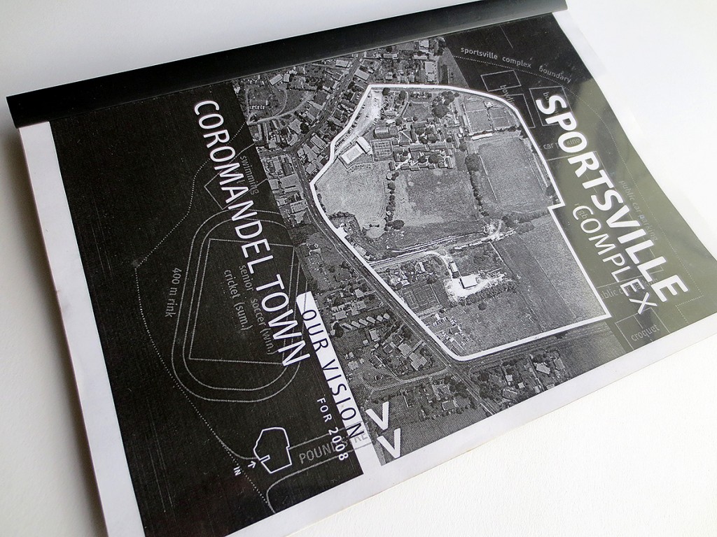
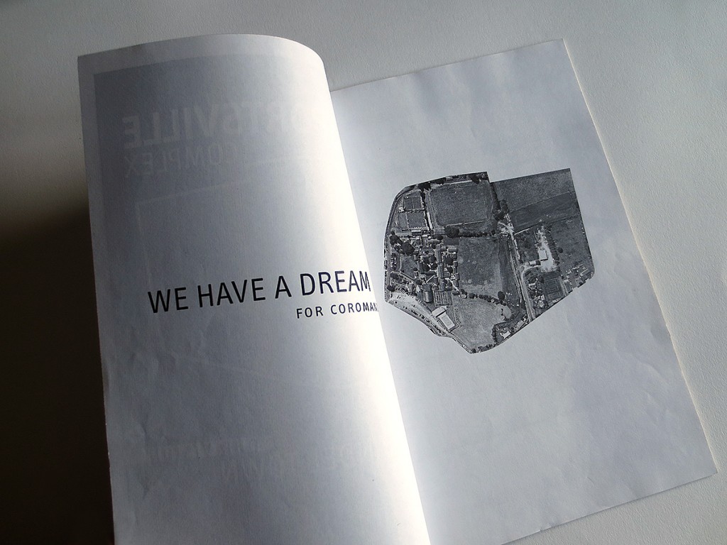
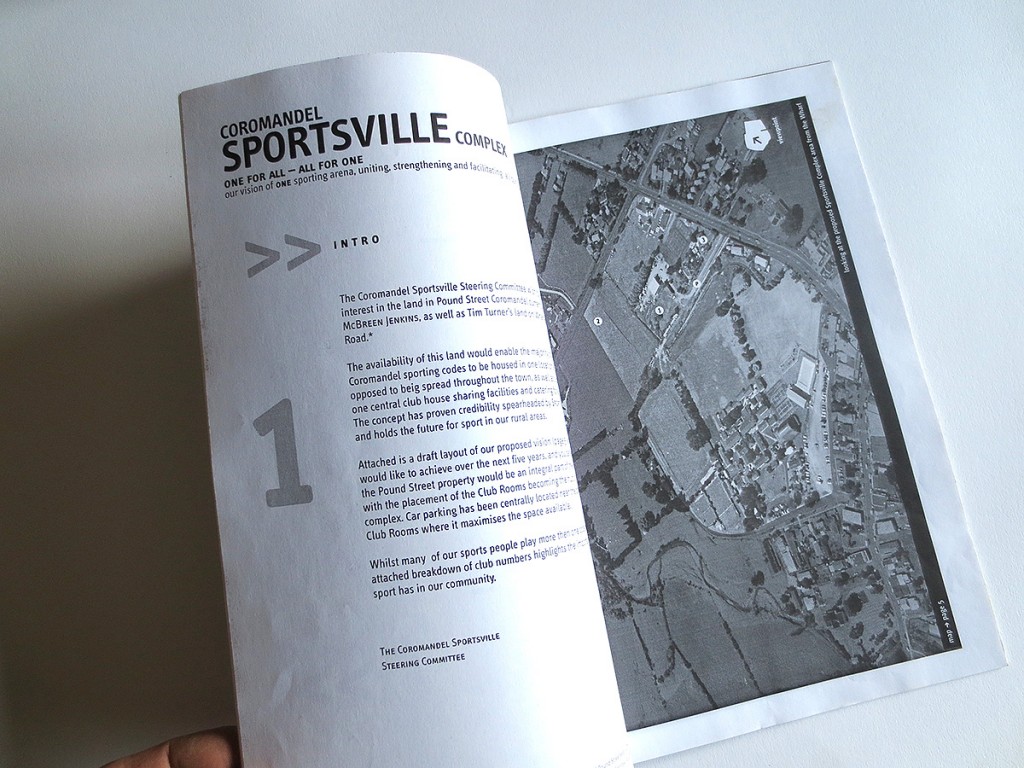
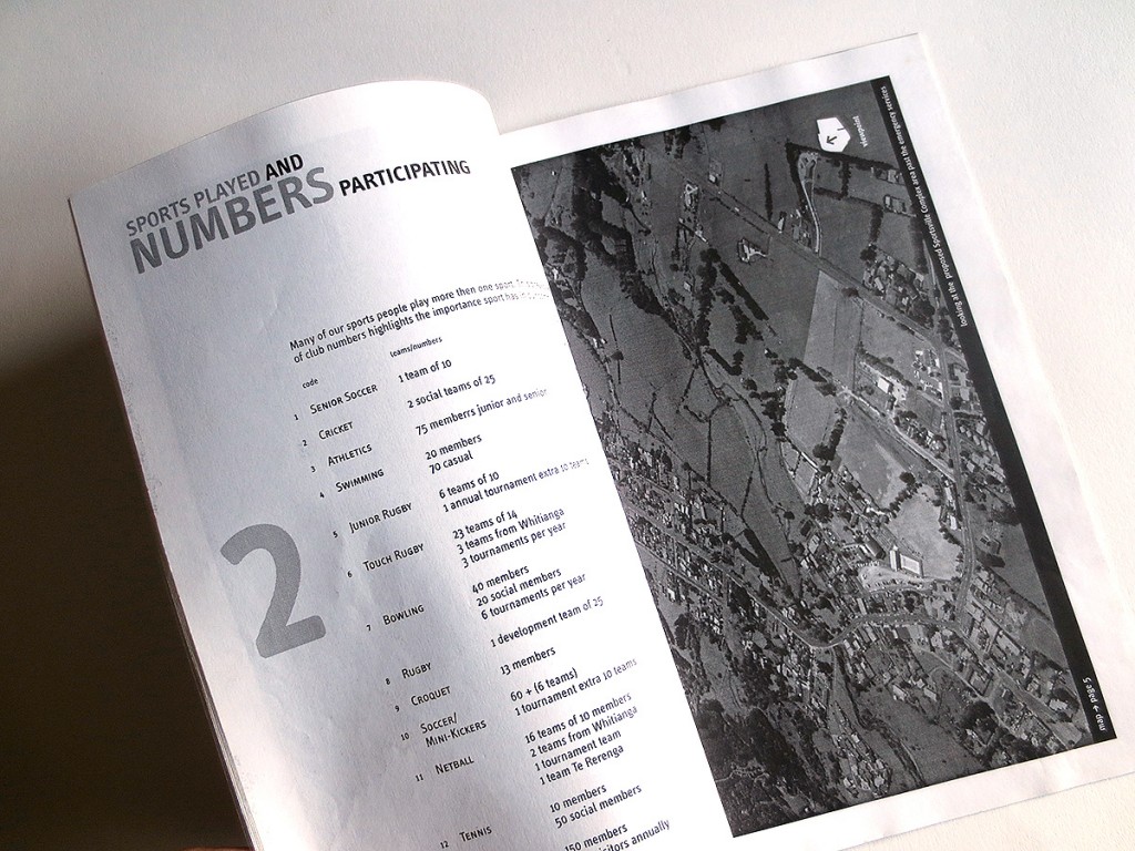
This presentation was produced before Google maps existed, and satellite images were easily available. Plus it was more advantageous for the presentation to have images in perspective rather than straight down from a satellite.
The studio hired a pilot and small airplane and took aerial photos of the town and area of the proposed future joint sports complex terrain from the air. The outline of the proposed area was then superimposed directly onto the photos, so that it was easy for viewers to envisage where the complex would go. And of course it includes the development of a map with the potential layout of all the sporting codes in the new combined terrains plus additional facts and figures.
This vision document was instrumental in moving the project through council and helping push it forward.